By Editorial Staff, ProActivo
Peru stands at a critical juncture in its history. Buffeted by the dual forces of the El Niño phenomenon and a rapidly accelerating global water crisis, the nation is transitioning from reactive disaster management to a proactive, data-driven strategy. With 22 regions currently under a state of emergency, the government—led by the technical expertise of the Geological, Mining, and Metallurgical Institute (Ingemmet)—is deploying a massive, science-based operation to safeguard vulnerable populations and critical infrastructure.
The Dual Threat: A Nation in the Crosshairs
The climatic volatility currently gripping Peru is characterized by a stark geographical divide. Along the Pacific coastline, the specter of the El Niño phenomenon looms large, bringing with it the threat of catastrophic flooding, torrential rainfall, and devastating landslides. These events, which have historically paralyzed commerce and destroyed homes, are being treated with unprecedented urgency.
Conversely, the Andean highlands and the southern regions are grappling with a silent, yet equally lethal crisis: severe water scarcity. While El Niño is a periodic, natural climatic oscillation, the current water crisis is deeply rooted in anthropogenic global warming. The retreat of Andean glaciers—the "water towers" of Peru—has reached a tipping point, threatening the long-term sustainability of agriculture, mining, and human consumption.
To bridge the gap between these climate realities, Ingemmet has mobilized 15 specialized brigades. This effort represents a fundamental shift in how the Peruvian state utilizes geoscientific data to mitigate risk. By mapping unstable slopes, identifying high-risk riverbeds, and monitoring soil saturation, the agency is providing the "geological intelligence" required to make informed, life-saving decisions.
Chronology of the Deployment: A Two-Phase Strategy
The mobilization of technical teams has been meticulously structured to cover the most exposed areas of the country. Following the official declaration of emergency in 22 regions, Ingemmet’s deployment was organized into two distinct, high-stakes phases.
Phase One: The Coastal and Central Corridor
The initial phase focused on the northern and central regions, where the immediate threat of El Niño-induced flooding is most acute. A contingent of 10 geoscientific brigades was tasked with a comprehensive technical audit of the corridor stretching from Tumbes down to Lima. These teams conducted high-resolution mapping of quebradas (dry ravines) that are prone to sudden activation during heavy rainfall. By identifying these "choke points," Ingemmet has provided local authorities with the necessary data to evacuate high-risk zones and reinforce infrastructure before the rains reach their peak.
Phase Two: The Southern Pivot
Beginning in the first week of October, the strategy shifted focus toward the southern basins. Five additional brigades were deployed to Arequipa, Moquegua, Tacna, Ayacucho, and Huancavelica. This region faces a unique set of challenges; while they are less susceptible to the immediate, violent floods of the north, they are highly sensitive to soil instability and the depletion of groundwater resources. The southern deployment is focused on identifying critical points where hydrological stress could lead to land subsidence or the contamination of essential water sources.
Official Perspective: The Vision of Ingemmet
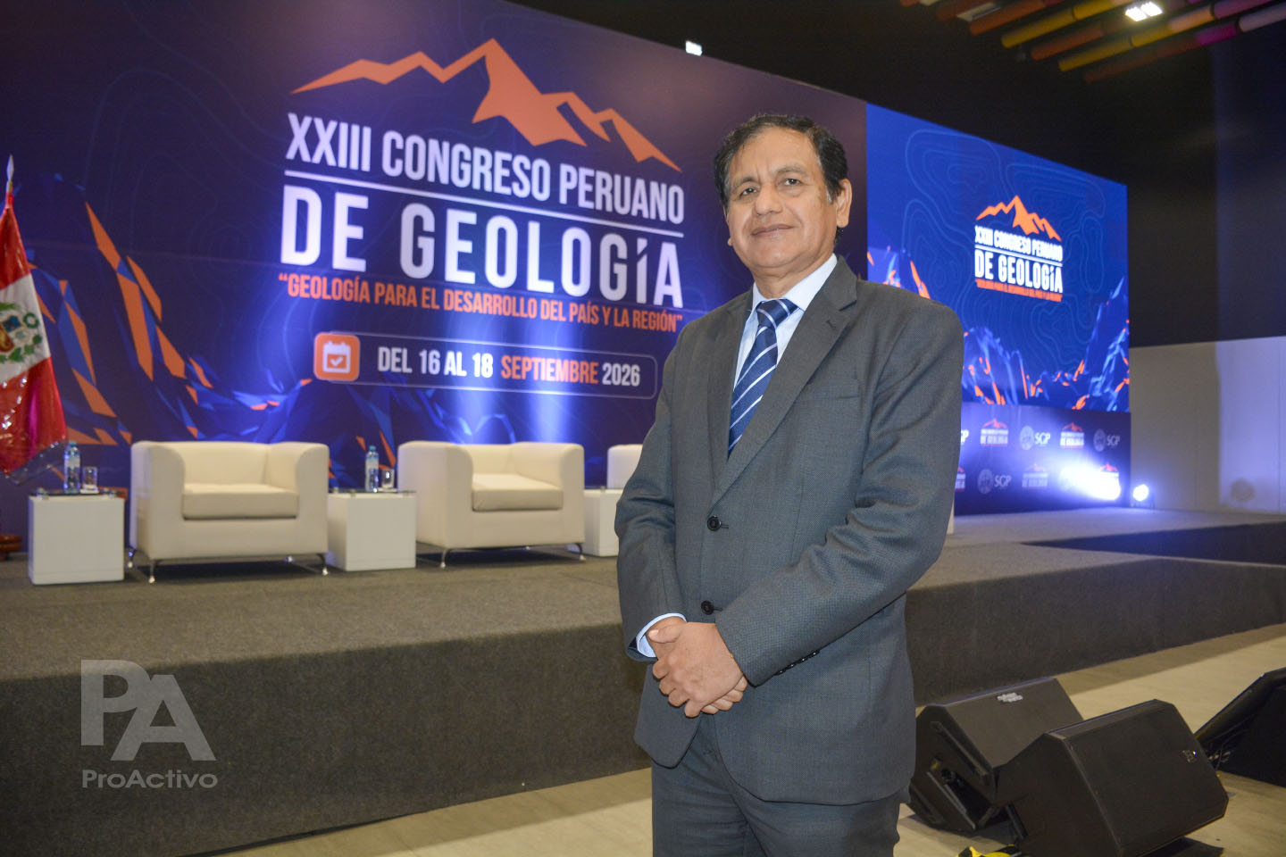
Ing. Walther León Lecaros, President of Ingemmet and a prominent figure in regional geoscientific research, emphasizes that the success of this mission lies in its long-term continuity. In an exclusive interview with ProActivo, León Lecaros underscored that the current operations are part of a broader, integrated master plan.
"We have formulated a comprehensive action plan that is currently in full execution," said León Lecaros. "This covers both the pre-Niño preparation phase and the post-event recovery stage. Geoscientific data is not just academic; it is the cornerstone of our decision-making process. It tells us exactly where the most urgent vulnerabilities lie and allows us to allocate resources with surgical precision."
The Ingemmet president noted that the integration of digital mapping and on-the-ground verification has drastically improved the speed at which the government can respond to potential disasters. "We are moving away from reactive firefighting toward a model of anticipatory governance," he added.
The Structural Crisis: Water Scarcity and Social Stability
Beyond the immediate hazards of landslides and floods, the long-term threat of water stress is redefining the social and economic landscape of Peru. Ing. León Lecaros highlighted that the scarcity of fresh water is not merely an environmental issue; it is a catalyst for social friction and potential displacement.
"The water crisis is already a global priority, and Peru is no exception," León Lecaros observed. "We are seeing trends worldwide where entire populations are being forced to migrate due to the lack of accessible, clean water. In Peru, the challenge is twofold: we must secure the quantity of water, but we must also guarantee its quality. If we fail to manage this, the competition for resources between industrial activities—such as mining—and local communities will inevitably lead to conflict."
To mitigate these risks, Ingemmet is pushing for a more robust regulatory framework that relies on transparent, science-based water monitoring. By providing neutral, high-quality data to all stakeholders, the government hopes to foster a climate of cooperation rather than confrontation.
Technical Solutions: From Infrastructure to Agricultural Reform
Addressing the water crisis requires a multi-pronged approach that combines heavy civil engineering with technological innovation at the farm level. The current proposal involves a significant increase in the construction of storage infrastructure, including dams, reservoirs, and complex canal systems. These projects, which the government envisions as public-private partnerships, are deemed essential to ensuring a stable supply for cities in the arid southern belt.
However, the most significant change may be taking place in the agricultural sector. For decades, the traditional method of flood irrigation has been the standard in many parts of the country. Experts argue that this method is increasingly unsustainable, as it not only wastes massive volumes of water but also contributes to soil degradation and geological instability.
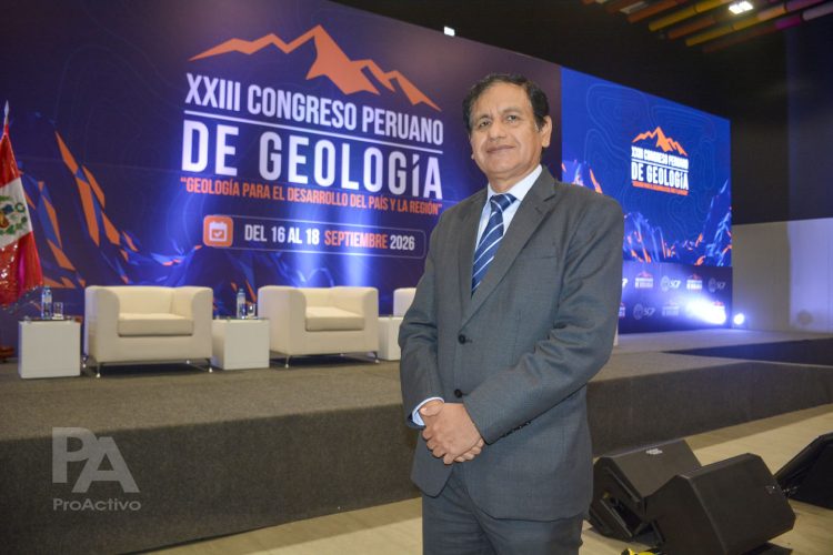
"The shift toward drip irrigation is a fundamental necessity," says León Lecaros. "When you use flood irrigation, you oversaturate the soil, which in turn leads to geodynamic problems like landslides and slope failures. By transitioning to drip irrigation, we are not just saving water—we are preserving the structural integrity of the land."
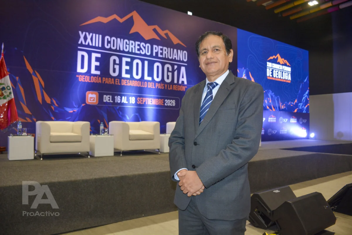
These insights were recently shared during the XXIII National Congress of Geology, organized by the Geological Society of Peru (SGP). During the summit, the consensus among experts was clear: Peru must embrace a "drop-by-drop" management culture. This entails not only technical improvements but also educational initiatives to change how water is valued across all sectors of society.
Implications for the Future
The current emergency in Peru is a stark reminder of the country’s inherent vulnerability to geological and climatic forces. However, it also serves as a test case for how emerging economies can leverage science to protect their citizens.
The implications of the work currently being performed by Ingemmet are vast:
- Risk Reduction: By identifying high-risk areas before they fail, the government can save thousands of lives and prevent billions of soles in property damage.
- Resource Optimization: Efficient water management will define the next century of Peruvian agriculture and industrial production.
- Governance through Data: The reliance on objective, field-collected data reduces the influence of political bias in disaster management and land-use planning.
- Social Cohesion: By addressing water quality and availability proactively, the state can prevent the emergence of deep-seated conflicts that often arise from resource scarcity.
As the 15 brigades continue their work across the 22 regions, their findings will be compiled into a national risk atlas. This document will serve as a roadmap for future infrastructure development and emergency response planning. The path forward is undoubtedly complex, but the commitment to evidence-based policy offers a pathway to a more resilient and secure future.
The integration of advanced hydrogeology into national planning is no longer a luxury; it is an imperative. As the climate continues to evolve, the ability of Peru to adapt—by monitoring the ground beneath its feet and the water flowing through its basins—will determine its prosperity for generations to come. Through the dedicated efforts of organizations like Ingemmet, Peru is transforming its geological challenges into a roadmap for sustainable development.