Executive Summary: A Proactive Stance on Geological Safety
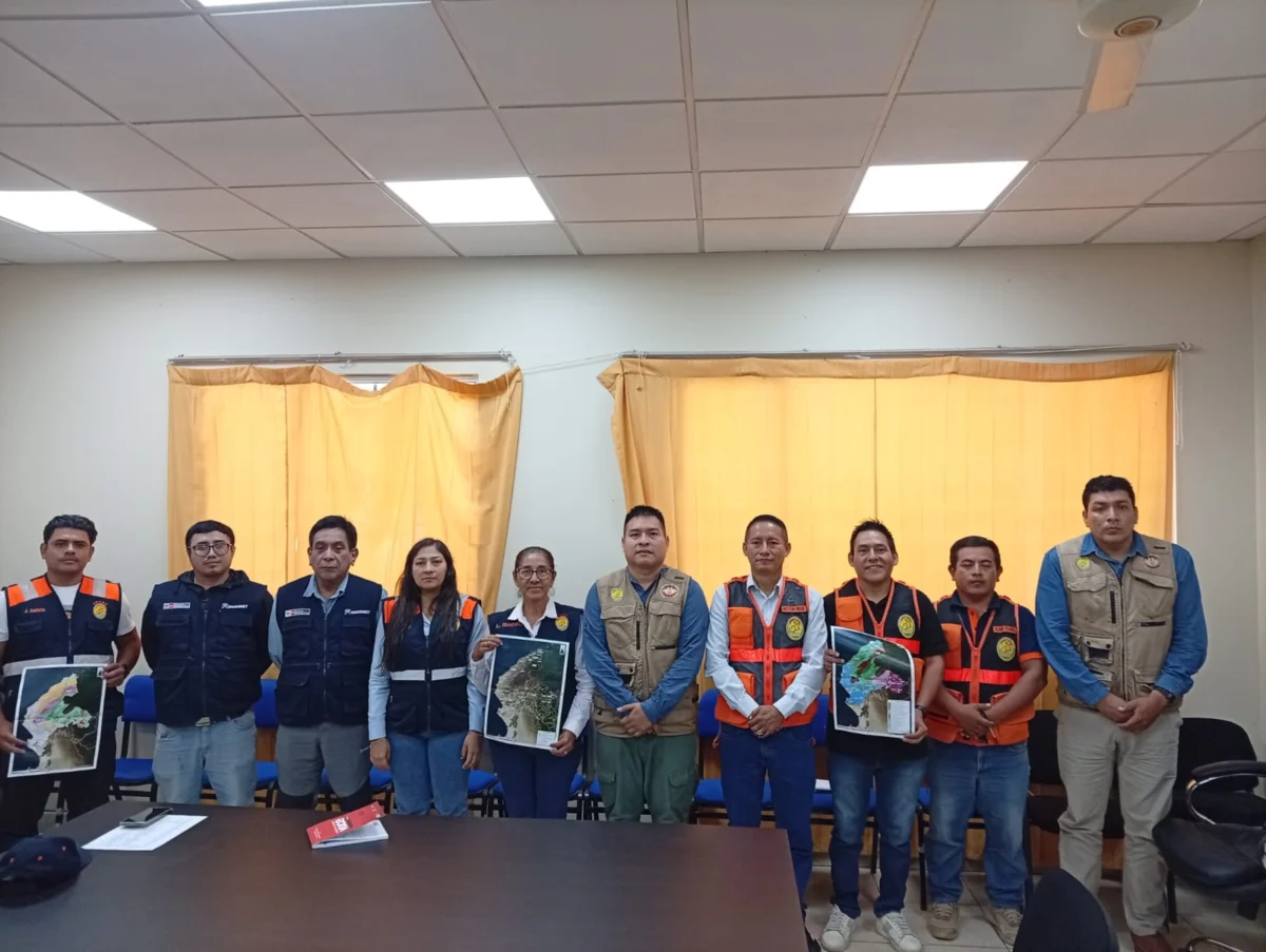
In a significant move to fortify regional disaster prevention, the Geological, Mining and Metallurgical Institute (INGEMMET), through its Directorate of Environmental Geology and Geological Risk (DGAR), has initiated a comprehensive, month-long technical assessment across the Tumbes region. This initiative, spanning from August 13 to September 17, aims to update critical data regarding geological hazards. By collaborating with local authorities, including the Regional Emergency Operations Center (COER) and regional disaster management offices, INGEMMET seeks to mitigate the impact of potential natural disasters on populations, critical infrastructure, and essential services.
The Core Mandate: Understanding Geological Vulnerability
INGEMMET’s primary mission in Tumbes is to map and characterize areas defined as "critical zones." In geological terms, these are sectors where the interplay of geological, geomorphological, and geodynamic conditions creates an environment prone to instability.
The threats monitored by experts include, but are not limited to, landslides, rockfalls, soil erosion, and the reactivation of ancient mass movement processes. These conditions are particularly precarious in the Tumbes region, which historically faces the compounding threat of intense seasonal rainfall, often exacerbated by the El Niño phenomenon. When such geological instability meets extreme weather, the potential for catastrophic loss—ranging from the destruction of transit corridors to the collapse of residential settlements—becomes a reality that demands scientific intervention.
Chronology of the Field Assessment (August 13 – September 17)
The operation is structured as a systematic, multi-district expedition designed to ensure comprehensive coverage of the region’s diverse geography.
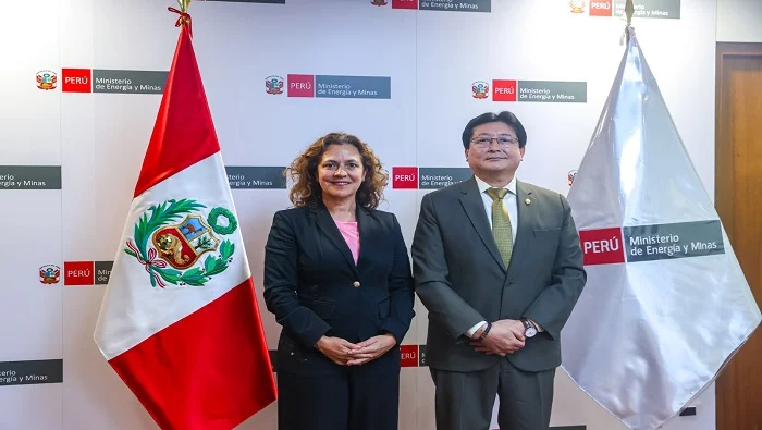
- Phase I (Mid-August): Initial Coordination and Planning: The operation began with high-level meetings between INGEMMET representatives and the Regional Directorate of Energy and Mines, as well as the Regional Office for Disaster Risk Management (OFREGERD). These sessions were vital for synchronizing the technical approach with the local knowledge provided by the COER.
- Phase II (Late August – Early September): Data Acquisition and Fieldwork: The core of the operation involves on-the-ground inspection. Specialists are currently deployed across thirteen key districts: Tumbes, San Juan de la Virgen, Pampas de Hospital, Corrales, San Jacinto, La Cruz, Zarumilla, Aguas Verdes, Papayal, Matapalo, Zorritos, Casitas, and Canoas de Punta Sal.
- Phase III (Mid-September): Synthesis and Reporting: Following the fieldwork, the data collected will be analyzed to produce a definitive technical-scientific report. This document will serve as a roadmap for regional and national authorities to implement preventative infrastructure and evacuation protocols.
Geographical Focus: The Targeted Districts
The scope of this mission is extensive, reflecting the varied topography of Tumbes, which ranges from coastal strips to hilly inland terrains.
The Northern Frontier: Zarumilla and Surroundings
The districts of Zarumilla, Aguas Verdes, Papayal, and Matapalo are critical due to their proximity to the border and their unique drainage patterns. Geological risks in these areas often involve slope instability and sediment transport that can threaten cross-border trade routes and local irrigation systems.

Central Tumbes and the Inland Districts
Districts such as Tumbes, San Juan de la Virgen, Pampas de Hospital, Corrales, and San Jacinto represent the densely populated heart of the region. Here, the focus is on protecting urban and peri-urban settlements from the reactivation of gullies and slope failures during heavy rains.
The Coastal and Tourism Hubs: Zorritos, Casitas, and Canoas de Punta Sal
These areas are vital to the regional economy through tourism and fisheries. However, the coastal geomorphology, combined with the proximity of hills to the shoreline, poses unique risks. Erosion and landslides can sever the Pan-American Highway, effectively cutting off these economic hubs from the rest of the country.
The Role of "Perú en Alerta"
A cornerstone of INGEMMET’s commitment to transparency and public safety is the "Perú en Alerta" platform. This digital portal acts as a repository for years of geological research, making complex scientific data accessible to local planners, academics, and the general public. By integrating the results of the current Tumbes survey into this platform, INGEMMET ensures that the information is not merely shelved in a government office but is actionable for mayors, regional governors, and civil defense agencies.
Technical Implications: Why This Matters
The geological characterization being performed is not a mere academic exercise; it is an essential component of the "preventative culture" that the Peruvian government is striving to build.
Infrastructure Hardening
By identifying exactly where slopes are prone to failure, the government can prioritize engineering solutions such as retaining walls, drainage systems, and reforestation. Without this data, infrastructure investments are often made blindly, leading to structures that are quickly destroyed by the next rainy season.
Land Use Planning
The data provided by INGEMMET helps local municipalities update their urban development plans. By identifying high-risk zones, authorities can discourage the expansion of informal housing into dangerous terrain, thereby preventing future loss of life and property.

Climate Change Adaptation
With the increasing volatility of the El Niño phenomenon, historical data is no longer enough to predict future hazards. Modern geological surveys must account for changing precipitation patterns. This mission represents a shift toward dynamic, real-time risk management that recognizes the evolving nature of the Earth’s surface in response to a changing climate.
Official Responses and Collaborative Governance
The collaboration between INGEMMET and local regional bodies—such as the COER and the Directorate of Energy and Mines—highlights a "three-tier" governance approach.
- National Level (INGEMMET): Provides the technical expertise, standardized methodologies, and scientific instrumentation.
- Regional Level (OFREGERD/COER): Provides the logistical support, local context, and the mechanisms to distribute warnings and enforce safety protocols.
- Local Level (Municipalities): Responsible for the on-the-ground implementation of risk reduction projects and the enforcement of zoning laws.
This synergy is critical because, as past experiences in Peru have shown, isolated efforts rarely succeed. The integration of scientific research with local administrative power is the only sustainable path to disaster risk reduction.
Looking Ahead: Building a Safer Future
As the field teams continue their work through mid-September, the emphasis remains on accuracy and thoroughness. The resulting report will be a multi-faceted document. It will not only map where the dangers are but will also provide recommendations for the types of mitigation measures that are most effective for each specific site.
The threat of geological disasters is constant in a region as tectonically and climatically active as Tumbes. However, through the rigorous application of science and inter-institutional coordination, the risk of disaster can be significantly lowered. The work being carried out by INGEMMET is a testament to the fact that while we cannot prevent the rain from falling or the earth from shifting, we can certainly prevent these natural phenomena from becoming human tragedies.
Key Takeaways for Stakeholders:
- Preventative Focus: Moving from reactive post-disaster response to proactive risk mapping.
- Scientific Rigor: Leveraging geological and geomorphological data to inform engineering decisions.
- Accessibility: Utilizing digital tools like "Perú en Alerta" to keep information transparent and available for public policy.
- Integrated Action: Promoting cooperation between central and regional government entities to ensure comprehensive coverage of high-risk districts.
By the end of this campaign, the region of Tumbes will possess an updated "Geological Safety Map," a vital tool for the coming years as the country continues to navigate the complexities of environmental and geological safety. The proactive stance of INGEMMET in this instance serves as a model for other regions, proving that scientific literacy is the best defense against the volatility of the natural world.