Introduction: The Silent Crisis in the Andes
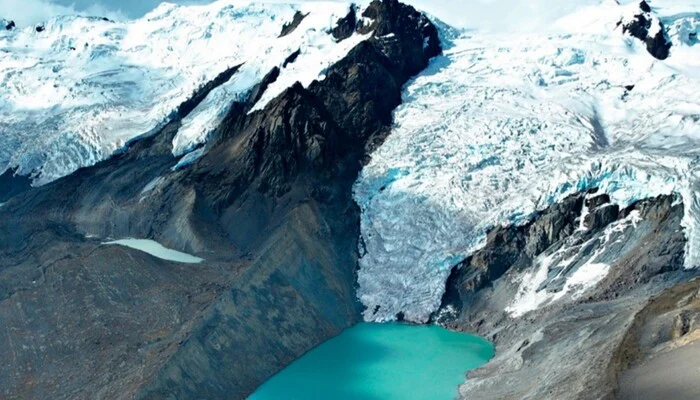
In the heart of the Peruvian Andes, a silent transformation is underway. As global climate patterns shift, the country’s majestic glaciers—which serve as vital "water towers" for millions—are retreating at an alarming rate. This environmental phenomenon is not merely a loss of aesthetic beauty; it represents a profound challenge to water security, agricultural viability, and ecological stability.
In a landmark move to address these emerging threats, the Peruvian Ministry of Environment (Minam), through the National Institute for Research on Glaciers and Mountain Ecosystems (Inaigem), has unveiled a comprehensive scientific study. This research provides a roadmap for identifying areas where "Acid Rock Drainage" (ARD) could contaminate vital water sources, offering a blueprint for policy intervention and long-term sustainable development.
Main Facts: Decoding the Acid Rock Drainage (ARD) Threat
The research presented by Inaigem serves as a cornerstone for modern environmental management. At the core of this initiative is the identification of risks associated with Acid Rock Drainage.
What is Acid Rock Drainage?
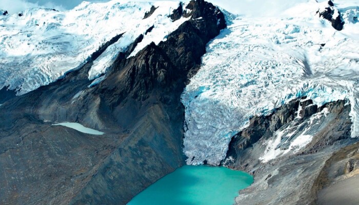
ARD is a geochemical process that occurs when rocks containing sulfide minerals—previously protected by ice cover—are exposed to the atmosphere due to glacial retreat. When these rocks come into contact with water and oxygen, they generate acidic runoff that can mobilize heavy metals into rivers, streams, wetlands (bofedales), and lakes.
The study provides a spatial analysis that allows authorities to pinpoint exactly where this process is likely to occur, moving from reactive management to proactive prevention. By integrating satellite technology with granular geological data, the ministry has transformed a complex geochemical process into actionable intelligence.
Chronology: A Multi-Year Scientific Endeavor
The path to this breakthrough was defined by rigorous methodology and interdisciplinary collaboration.
- Phase I: Data Integration (Foundation): The research team synthesized vast datasets, including multispectral imagery from the Sentinel-2 satellite, high-resolution topographic mapping, and geological surveys of the high-Andean basins.
- Phase II: Methodological Verification: Before scaling the project nationally, the Inaigem team conducted rigorous verification in seven distinct glacial cordilleras. This phase ensured that the mathematical models accurately reflected the physical realities of the terrain.
- Phase III: National Expansion: Following the success of the pilot study, the methodology was applied to the entire Peruvian territory, creating a comprehensive national map of potential ARD zones.
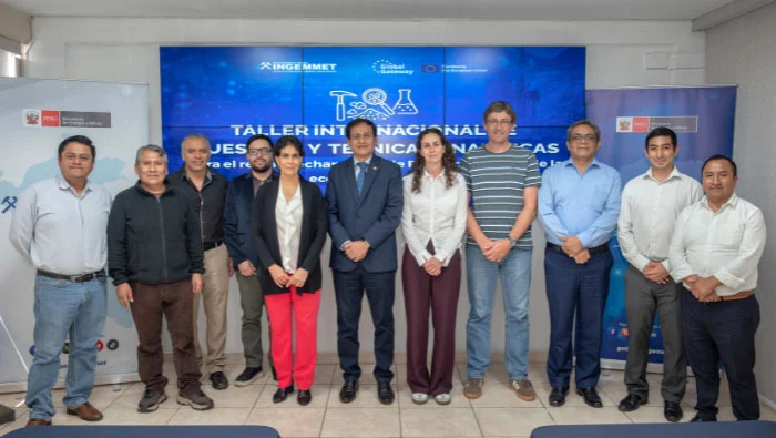
- Phase IV: Institutional Presentation (September 2026): The findings were formally presented at the Senamhi auditorium in Jesús María, marking the transition from academic study to public policy integration.
Supporting Data: Technology Meets Topography
The study’s credibility rests on its sophisticated use of remote sensing and ground-truthing. By utilizing the Sentinel-2 satellite—which provides high-resolution data on land surface changes—researchers could monitor the expansion of "deglaçated" areas in real-time.
Key Technical Pillars:
- Multispectral Analysis: Sentinel-2 data allowed researchers to distinguish between mineralogical signatures, helping to identify sulfide-rich rock formations that pose the highest risk of acidification.
- Hydrological Modeling: By overlaying geological data with hydrological flow models, the study identified which specific watersheds are most vulnerable to metal leaching.
- Field Validation: Unlike purely desktop-based studies, the Inaigem project included extensive on-the-ground sampling, ensuring the models remained grounded in the geochemical reality of the Andes.
Official Responses: Aligning Science with Policy
The presentation of this data saw high-level government officials emphasizing the necessity of bridging the gap between scientific discovery and administrative action.
Minister Vladimiro Huaroc Portocarrero’s Vision
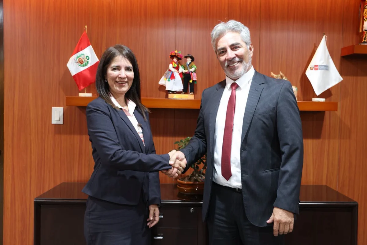
Minister of Environment Vladimiro Huaroc Portocarrero delivered a sobering yet optimistic assessment of the current state of affairs. He emphasized that the era of scientific research existing in isolation from government policy must end.
"We have in our hands today the opportunity to utilize this information," Minister Huaroc stated. "We must ensure that this data reaches mayors, regional governors, and all those responsible for political decision-making. Our goal is to transform scientific research into public policies that prevent, warn, and address the risks faced by our populations."
The Minister highlighted that the protection of the environment is not a luxury, but the foundation of sustainable economic development. He urged regional leaders to integrate these findings into their local development plans to ensure that water security for agriculture and human consumption is not compromised by the changing climate.
Inaigem’s Institutional Commitment
Hernando Tavera, Executive President (e) of Inaigem, echoed these sentiments, framing the research as a tool for resilience. "Understanding the evolution of these processes allows us to grasp their long-term social impacts," Tavera noted. "By anticipating these risks, we can implement mitigation strategies that protect not only the environment but also the livelihoods of mountain communities that depend on these water sources."
Implications: A New Era for Environmental Governance
The implications of this study are vast, reaching across sectors and government levels.
1. Strengthening Public Investment
One of the primary goals of disseminating this information is to inform public investment projects. Infrastructure initiatives related to potable water, sanitation, and irrigation systems often fail if the source water quality is not properly assessed. By incorporating this data, project planners can avoid high-risk areas or design necessary water treatment facilities before construction begins.

2. Regional and Local Empowerment
By providing localized data to regional and local governments, the Ministry is decentralizing environmental governance. Local officials are now better equipped to identify which watersheds require prioritized monitoring. This shift is expected to reduce the frequency of environmental conflicts and improve local disaster risk management.
3. Strengthening Water Security
The study will directly inform national water management strategies. With a clearer picture of where and when water quality might be compromised, the government can implement better monitoring campaigns and protect critical "bofedales," which serve as natural sponges for the high-Andean ecosystems.
4. A Model for Climate Adaptation
Peru is one of the countries most vulnerable to the impacts of climate change, specifically regarding glacial retreat. This project serves as a model for how other nations with mountainous terrain can utilize space technology and geology to adapt to environmental shifts. It shifts the discourse from "losing glaciers" to "managing the consequences of glacial retreat."
Conclusion: The Path Forward
The initiative led by the Ministry of Environment and Inaigem represents a critical step in Peru’s journey toward climate resilience. By acknowledging the scientific reality of glacial retreat and the risks posed by Acid Rock Drainage, the government is moving to protect its most precious resource: water.
The success of this endeavor will ultimately depend on the seamless collaboration between the scientific community, policymakers, and the local populations. As the data is integrated into regional development plans and infrastructure projects, Peru is positioning itself as a leader in mountain ecosystem management. The mountains are changing, but through the application of rigorous, evidence-based science, the nation is better prepared to protect its future, ensuring that the water flowing from the peaks remains a source of life for generations to come.